VISABILITY ANALYSIS
![]()
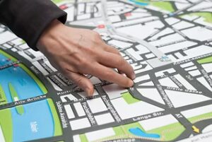
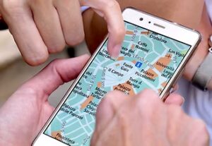
Using a physical/virtual model or map of a park or area, organisations can suggest locations for installations and invite citizens to vote on which they think would be most beneficial.
![]()
A map or model of an area would be made available, on which suggested locations of park installations would be proposed. Citizens would be invited to view the map/model and vote for the locations they feel would be best.
![]()
Involving citizens in choosing locations can help improve their accessibility and benefits.
Overview of the Engagement Tool/Innovation:
The visibility analysis tool is designed to generate community feedback and input into the planning, designing,
and evaluating of green spaces. Using a physical/virtual model of a park or area,
organisations can suggest locations for installations and invite citizens to
vote on which they think would be most beneficial. Remote sensing techniques and geographic systems can be used.
Role in decision-making:
Enables citizens to recommend the best locations for park installations and/or improvements within a range of pre-selected options.
Informing – Workshops can be set up to explain the pre-selected location options and show individuals the process the visibility analysis undertakes.
Consulting – This tool kit can be used in conjunction with other park design engagement tools.
Hard to reach groups – The tool could be useful for engaging hard to reach groups, those with disabilities and/or those how are less confident with public speaking.
Building trust with communities – Can build trust with communities where engagement impacts park design.
Suitable for:
A range of park design projects where citizen input would be beneficial.
Resources needed:
The resources needed depend on how park park/areas is to be presented e.g. map or model. One possible way is through digital terrain models and digital surface models. Another option is to build a 3D model of the city. Remote sensing and geographic information systems could be used to analyse the space.
Formats:
Advantages:
- Helps ensure installation locations are best optimised to user needs.
- Models and maps can be reusable.
Challenges:
- Could be costly if a model is made.
- May take time to implement.
Sources, good practice and case studies:
Bolte, A. M., et al. (2019). Can you see green or blue? On the necessity of visibility analysis of urban open spaces using remote sensing techniques and geographic information systems. Joint Urban Remote Sensing Event (JURSE), Vannes, FRANCE.